How Land Surveying and Site Planning Shape the Future of Architecture
Architecture evolves in interesting ways. Today, the building design process is much more than just creating blueprints. It begins with a thorough study of the land itself. Two key elements drive this development: land surveying and site planning. These activities lay the foundation for safe, efficient, and beautiful structures. In this article, we explore how these processes shape the future of architecture.

Understanding Land Surveying
Land surveying is the art and science of measuring physical characteristics of a site. It provides critically important information about boundaries, topography, and natural features. Surveyors use modern tools such as GPS, laser technology, and drones to collect accurate data.
What Does Land Surveying Include?
- Boundary Measurement: Determining the exact lines defining a property.
- Topographic Survey: Mapping contours, slopes, and natural features of the site.
- Engineering Infrastructure Mapping: Identifying locations of underground pipes, cables, and other engineering networks.
- Construction Site Marking: Placing markers where structures will be built.
The accuracy of these surveys is crucial. When errors occur, they can lead to disputes or construction issues later on. For example, a small error in boundaries might cause problems during construction or lead to legal disputes over property lines.
Tools and Methods
Surveyors now use advanced technologies to improve their work. Modern methods include:
- Global Positioning Systems (GPS): These systems help surveyors accurately determine locations on Earth.
- Laser Scanning: This method creates precise 3D maps of the site.
- Drones: Flying drones capture images and collect data from areas difficult to access using traditional methods.
Technological advances have not only increased accuracy but also speed. This means projects can start earlier, and the risk of delays is reduced.
The Role of Site Planning in Shaping Architecture
Site planning is more than just choosing a location for construction. It involves understanding how the project will interact with its surroundings. Well-planned sites maximize natural lighting, improve energy efficiency, and ensure buildings integrate harmoniously into the environment. For example, integrating civil engineering services in Florida and Texas from Pape-Dawson into your planning process can further enhance the design and infrastructure of a project, ensuring optimal performance and seamless connection with the local landscape.
Key Elements of Site Planning
- Environmental Aspects: Planners assess natural features such as water sources, vegetation, and wildlife habitats. Preserving these elements can lead to sustainable architectural solutions.
- Accessibility: Planners ensure well-integrated roads, walkways, and connections to public transport. This enhances functionality and appeal of the area.
- Safety and Regulations: Building codes and safety standards play a vital role. Site planning includes close collaboration with local authorities to ensure every detail meets regulatory requirements.
- Community Impact: Good site planning considers the needs of the local community, ensuring new developments benefit everyone.
Benefits of Thorough Site Planning
- Energy Efficiency: Proper planning allows for the use of natural light and ventilation, reducing energy costs.
- Cost Savings: A well-planned site minimizes surprises during construction, meaning fewer expensive adjustments.
- Enhanced Aesthetics: Careful planning leads to designs that are pleasing to the eye and well-integrated with their surroundings.
- Ecological Sustainability: Respecting the natural landscape promotes a healthy ecosystem.
How Land Surveying and Site Planning Work Together
When land surveying and site planning come together, they create a powerful tool for the future of architecture. Accurate survey data gives planners detailed information needed to make informed decisions about building placement, orientation, and design. This collaboration is essential for several reasons.
Accurate Data Leads to Better Planning
The survey provides a reliable map of the site. With accurate measurements in hand, architects can create projects that harmonize with the land. This reduces waste and ensures construction is as efficient as possible.
Optimizing Space and Functionality
- Space Utilization: With an exact site plan, architects can maximize available space. Buildings can be designed to fit perfectly into the environment.
- Functional Design: With clear survey data, site planning can address potential issues like drainage, soil stability, and lighting. This leads to a more functional overall design.
- Risk Management: Accurate data helps identify potential hazards such as flood zones or unstable soils, ensuring safety measures are in place from the start.
Integration of Modern Technology
Innovations in surveying technology make gathering detailed data easier than ever. For instance, drones provide aerial photography that reveals the true topography of a site. When combined with computer-aided design (CAD) software, this data can be used to create accurate interactive project models. These models help all stakeholders understand the concept and identify potential issues in advance.
The Future: Trends in Land Surveying and Site Planning
Land surveying and site planning are constantly evolving. Here are some trends pointing toward the future of architecture:
Increased Use of Digital Tools
Digital transformation is changing how professionals approach their work. Software that can integrate survey data with design plans in real-time is becoming more common. This integration results in:
- Improved Collaboration: Architects, engineers, and surveyors can work on a single digital model, reducing misunderstandings.
- Real-Time Adjustments: If new data is collected during a project, it can be quickly integrated into the planning process.
- Better Visualization: Digital models allow clients to see a realistic representation of the final project, improving decision-making.
Sustainable and Resilient Design
With climate change affecting communities worldwide, sustainability is a priority. New land surveying methods help planners design buildings that can withstand natural disasters and minimize ecological impact. Key aspects include:
- Sustainable Infrastructure: Detailed surveys can identify flood-prone, erosion-sensitive, or earthquake-vulnerable areas. This data informs resilient design.
- Energy-Efficient Buildings: Understanding the natural landscape allows architects to design buildings that maximize passive solar heat, natural ventilation, and insulation.
- Eco-Friendly Materials: Knowing the exact environmental conditions helps select sustainable and site-appropriate materials.
Growth of Smart Cities
As urban areas become more densely populated, the concept of smart cities is gaining traction. These cities use technology to efficiently manage resources and improve quality of life. Land surveying plays a key role in this transformation:
- Data for Decision-Making: Volumetric survey data feeds into urban planning systems, ensuring accurate development planning.
- Integrated Infrastructure: Smart cities rely on a network of sensors and digital systems planned based on detailed site data.
- Improved Mobility: Survey data helps design road networks, walkways, and public transport that are safe and efficient.
Focus on Community and Collaboration
Modern architecture is not created in isolation. Successful projects often involve collaboration between architects, engineers, residents, and local governments. Land surveying and site planning are central to this collaboration because they provide a shared factual basis that all can agree upon. This transparency helps build trust among stakeholders and ensures projects meet community needs.
Best Practices for Effective Land Surveying and Site Planning
To overcome these challenges and fully leverage the benefits, professionals follow certain best practices:
- Ongoing Education: Staying current with the latest technologies and regulations is key.
- Integrated Teams: Collaboration between surveyors, architects, engineers, and planners ensures all aspects of a project are considered.
- Use of Advanced Tools: Adopting modern tools such as GPS, drones, and digital modeling software can increase accuracy and efficiency.
- Community Engagement: Involving local residents and officials in the planning process ensures projects meet community needs.
- Focus on Sustainability: Prioritizing eco-friendly practices benefits not only the project but also the broader community.
How This Impacts Architectural Design
Imagine a new residential development built on previously undeveloped land. The first step is conducting detailed land surveying. This survey captures all site features—from slope steepness to locations of old trees that may need preservation. With this data in hand, the site planning phase begins. Planners decide where roads will go, where homes will be built, and even how parks and public spaces will be distributed.
This level of detail changes the architect's approach to design. Instead of starting with a blank canvas, they work with a clear understanding of the land. They can design homes that utilize natural light, reduce wind impact, and harmonize with the landscape. This results in a neighborhood that feels modern yet naturally integrated into its environment.
The Growing Importance of Land Surveying and Site Planning
Land surveying and site planning are more than just technical steps in the construction process. They form the foundation of modern architecture. Looking ahead, accurate data provided by land surveys and intentional site planning strategies will continue to drive innovation in architecture. They ensure the safety, efficiency, and environmental harmony of new developments.
Adopting these practices means we're not just designing buildings for today, but laying the groundwork for a future where every building is a testament to thoughtful planning and respect for the land. For those looking to start a new project, collaborating with experts who understand the value of integrating detailed survey data with smart site planning is crucial.
Need a renovation specialist?
Find verified professionals for any repair or construction job. Post your request and get offers from local experts.
You may also like
More articles:
 House on a Hill by HW Studio in Morelia, Mexico
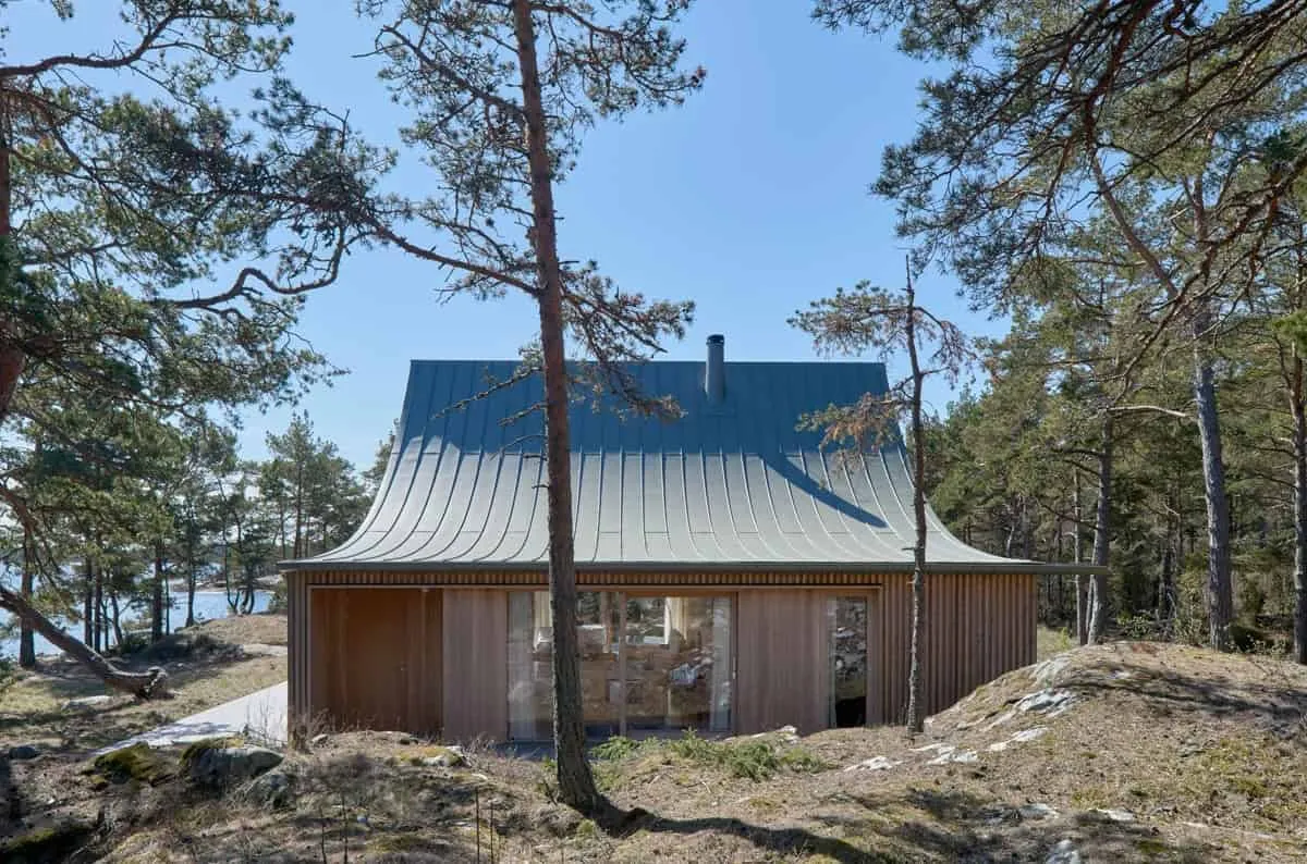 House on Krokholmen by Tham & Videgård Arkitekter in Sweden
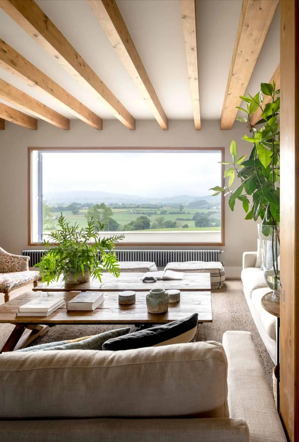 House with High Windows and Open to Nature
 House Pescador 14 by Franca AdC in Cancun, Mexico
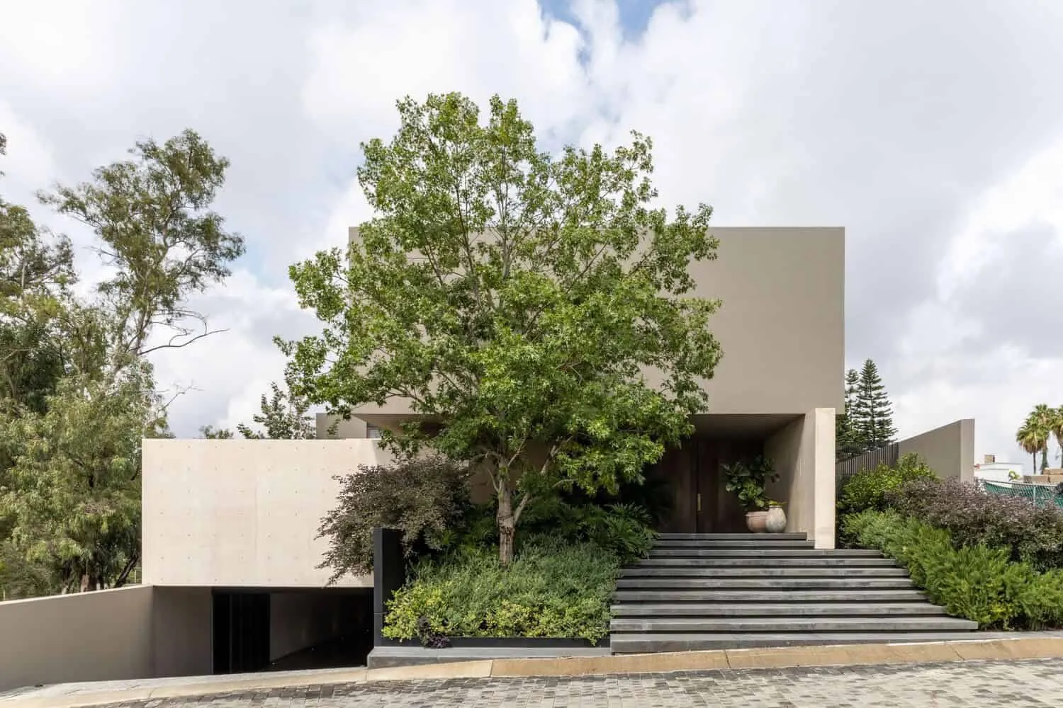 PF House by AE Arquitectos in Zapopan, Mexico
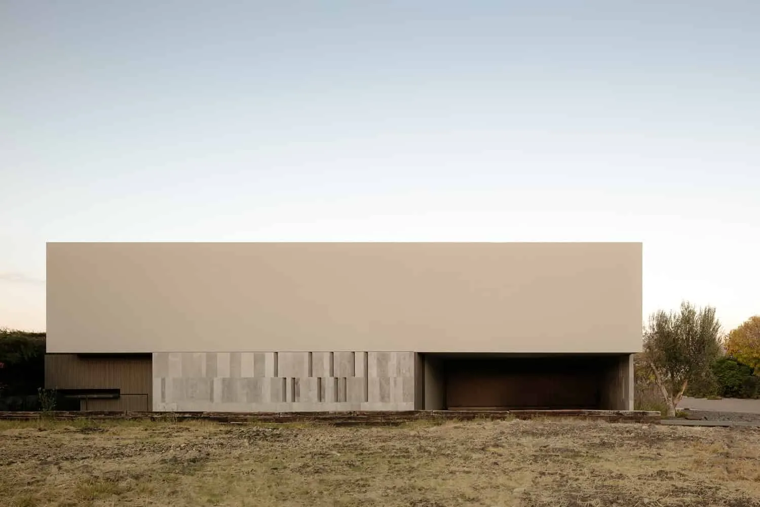 Rio House / LABarq / Mexico
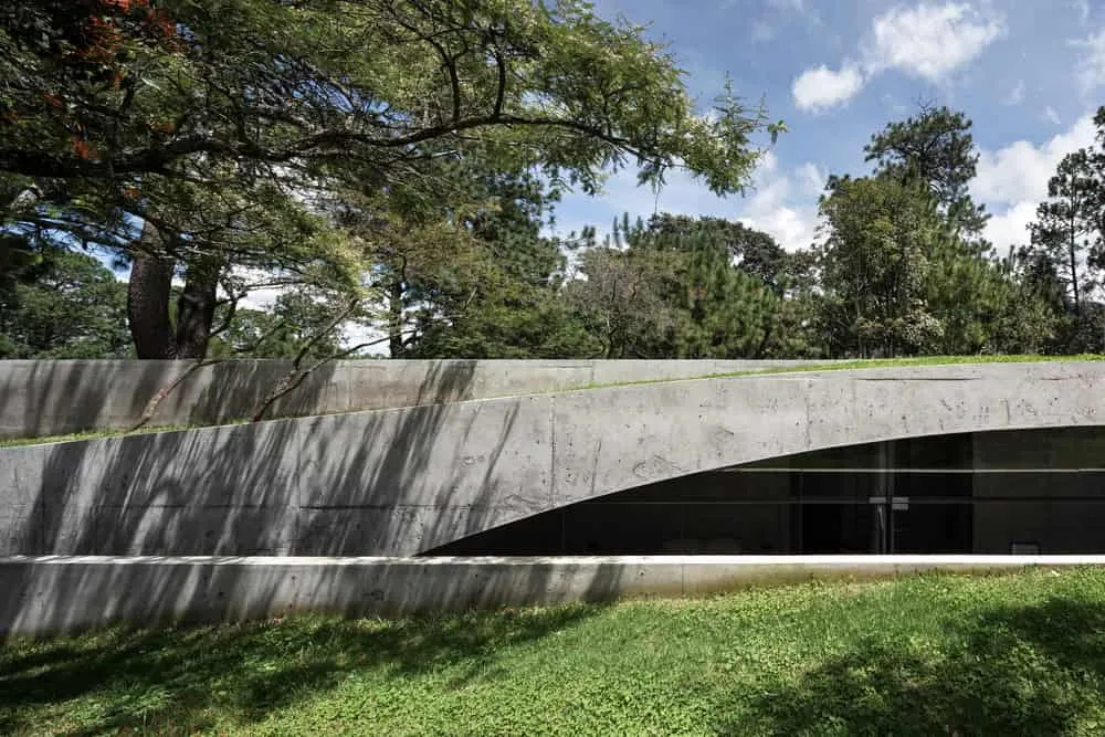
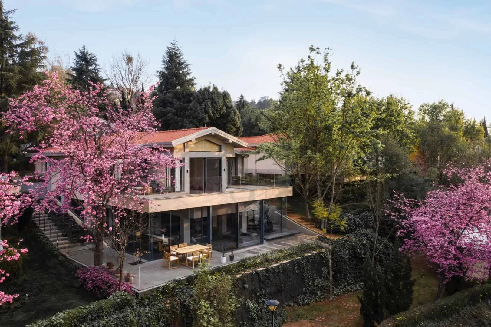 House Rooted in the Earth, KiKi ARCHi in Qunmin, China
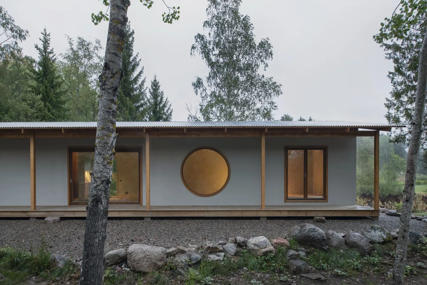 House RR by Norell/Rodhe in Granlund and Kvartersjon, Sweden